
UNDERGROUND UTILITY
INTELLIGENCE PLATFORM
Our platform combines advanced detection, mapping, 3D modelling, and digital asset management to deliver accurate underground intelligence—enabling confident planning, practical design, and safer infrastructure delivery.
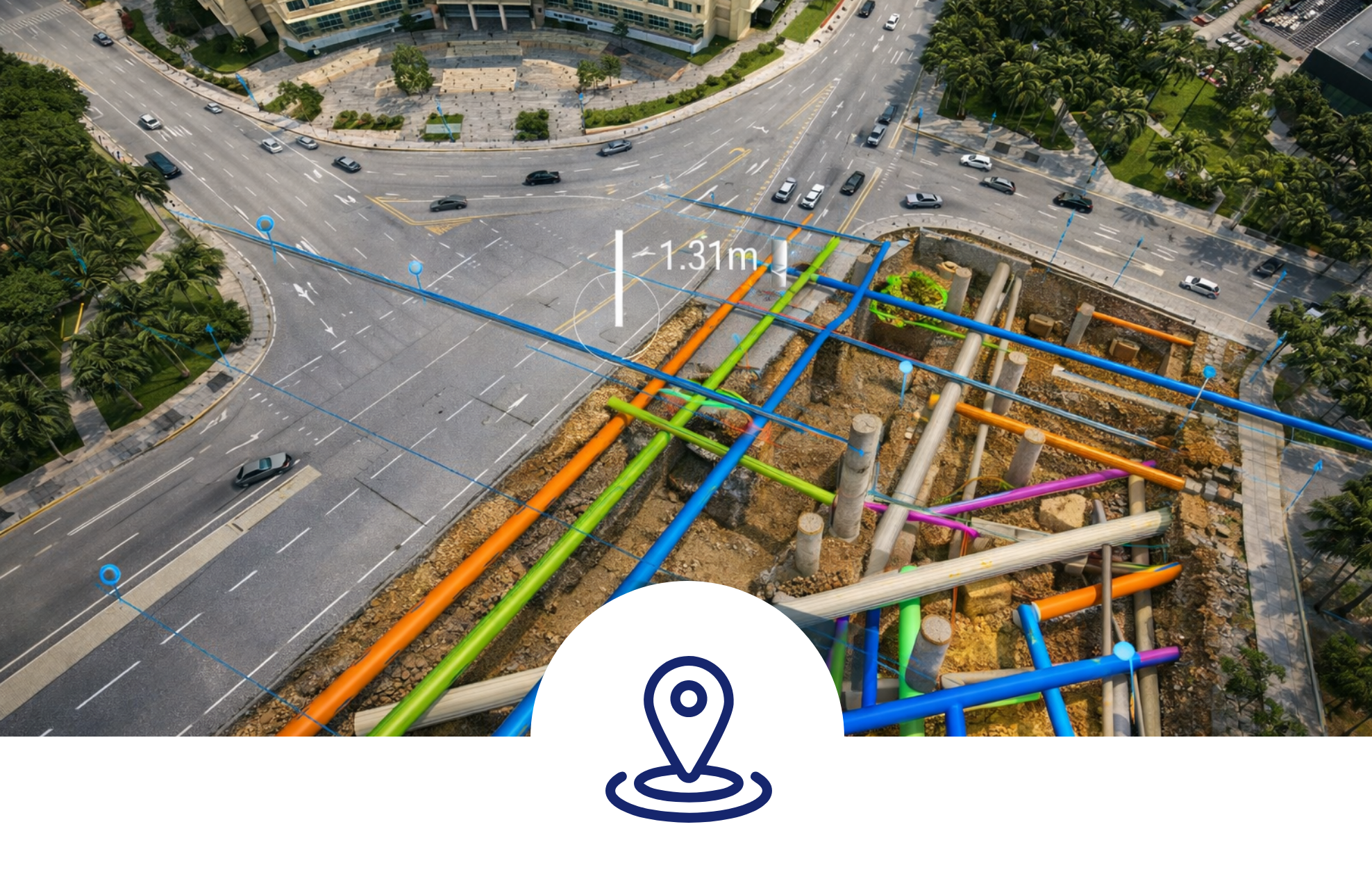
UNDERGROUND UTILITY DETECTION & MAPPING
We perform non-intrusive detection and mapping of underground and overhead utilities using proven technologies such as electromagnetic locators and ground-penetrating radar (GPR).
How it helps
 Identifies utilities above and below ground without invasive excavation
- Provides reliable subsurface information before construction begins
- Reduces the risk of utility strikes, service disruption, and project downtime
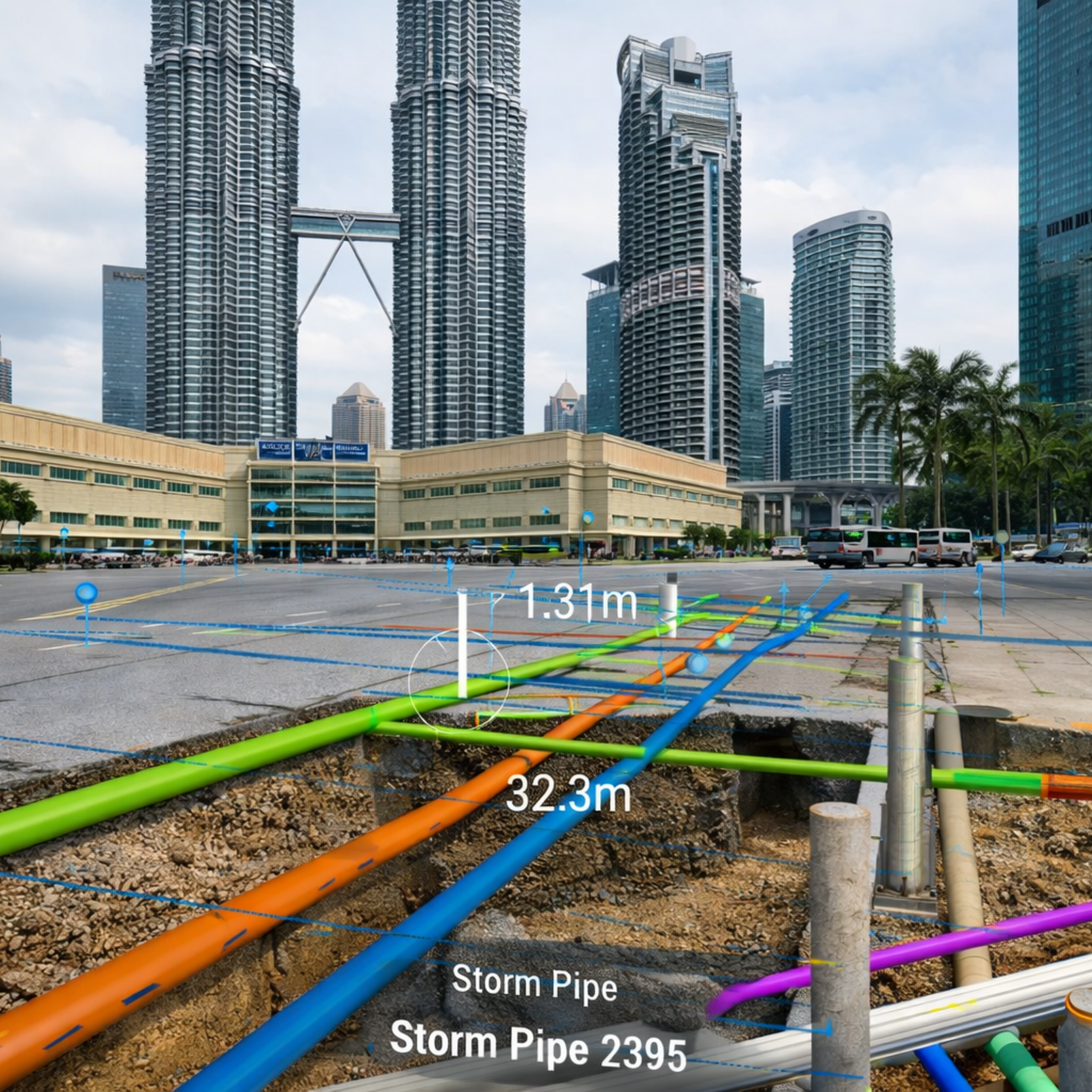
3D UNDERGROUND PIPELINE MAPPING
Underground pipeline alignments are mapped using gyroscopic mapping units combined with precise data processing to generate accurate pipeline routes and 3D representations.
Design & coordination benefits
 Enables realistic and viable designs to be established before construction
- Allows utility data to be easily integrated with topographic survey information
- Reduces costly redesigns caused by unknown or clashing utilities

UTILITY ASSET MANAGEMENT & DIGITAL INTELLIGENCE
All utility assets—underground and overhead—are digitally captured, stored, and managed within our Utility Asset Management System.
Intelligent visualisation
- Utility data is structured within a GIS environment
- Assets are Augmented Reality (AR)-ready, enabling enhanced visualisation
- Superimposed GIS and real-world views provide a comprehensive and precise understanding of utility networks

Manage the Underground with BA Utilities
Address underground risks through integrated utility intelligence and coordinated support—enabling safer and more efficient infrastructure delivery.